Equipment Pointing & Radar Directional Capabilities For Defense Applications

By
Anthony Full
Problem We Solve
In order to properly orient a vehicle-mounted weapon, or any radar system that relies on global navigation satellite signals, vehicle crews need accurate heading data to point their equipment. Operators may start with estimating trajectory paths, but it is hard to know exactly where their equipment is pointing because any slight change in angle causes a massive change in impact location or radar direction. Operating in a GNSS-denied environment also presents challenges, and it would be time consuming and potentially dangerous to wait for clean signal reception.
Inertial Navigation Systems (INS) that provide true north-finding capabilities is an extremely helpful and flexible alternative because it allows vehicles to have high accuracy orientation capabilities for their mounted weapons or radar payloads. They can minutely adjust their angles or rotation without the aid of GPS, and without being susceptible to vibrations and shocks.
Why Is It Important
Having precise orientation capabilities is critical in ensuring weapons effectively designate their targets. Likewise, having accurate orientation in radar systems is essential in the process of geographically locating objects. The act of orienting a vehicle weapon or radar is not trivial: accurate shooting requires complex calculations from numerous factors including determining level ground, finding the north pole, measuring wind speed and direction, and elevation of the target. Highly accurate equipment pointing can mean the difference between mission failure and success. Therefore, having a robust navigation system that can provide heading data in real time is of paramount importance for defense applications.

Given that the National Intelligence Council has identified an increasing trend in jamming and spoofing attacks, the need for navigation systems to be able to operate independent of GPS signals is also becoming important. Inertial navigation systems need to be able to operate in both normal conditions as well as GPS-denied environments.
Of course, there are different grades of accuracy for equipment pointing depending on your needs. And we’ll cover the most relevant solutions next.
How We Solve it
When it comes to navigation systems that can provide heading data in real time Safran has field-proven solutions for diverse defense applications. The Geonyx product incorporates HRG technology, unlike GPS, INS does not rely on external signals for navigation and heading. Instead, it uses motion sensors and rotation sensors to calculate the position, orientation and velocity of the vehicle based on internal data. The Geonyx will output pitch, roll, and heading data to the vehicles weapon system or to the vehicles radar system via ethernet.
GEONYX INERTIAL NAVIGATION SYSTEM
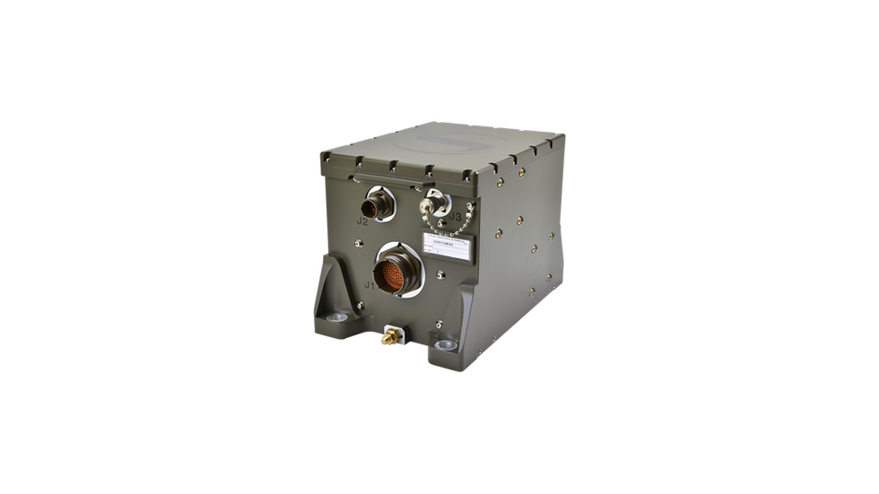
Geonyx is an INS solution for ground vehicles and artillery pointing systems, offering a virtually unlimited and maintenance-free lifespan. It can achieve a pointing accuracy of <0.5 mils thanks to HRG Crystal technology. It has quick and flexible alignment – even in GNSS-denied environments.