
PNT Library
Dig into real-world PNT and GNSS applications.
Sort library by tags:


Equipment Pointing & Radar Directional Capabilities For Defense Applications
Inertial Navigation Systems (INS) that provide true north-finding capabilities is an extremely helpful and flexible alternative because it allows vehicles to have high accuracy orientation capabilities for their mounted weapons or radar payloads.

Anthony Full
Director of Business Development, Navigation Systems

Doppler Effects on Spaceborne PNT Applications
More space missions are taking place in Lower Earth Orbit (LEO). Newer, more advanced receivers are needed to have sufficient PNT capabilities. Doppler shifts experienced on these missions will be high, however, robust testing to ensure mission success is achievable...

Joshua Prentice
Applications Engineer


Interference Threat Position Awareness
The interference threat information provided from a Controlled Reception Pattern Antenna (CRPA) combined with reliable PNT sources, such as the Safran VersaPNT and Geonyx systems, can deliver situational awareness information, such as the approximate position of interference threat sources.

Garrett Payne and Dylan Dayton
Navigation and Electrical Engineers

Land Vehicle Navigation in GNSS-Denied Environments for Defense Applications
An Inertial Navigation System (INS) that provides reliable position and heading data is a unique backup solution because it allows vehicles to stay on course and maintain awareness of where they are without a GPS connection
Anthony Full
Director of Business Development, Navigation Systems

Addressing Assured PNT needs through Open Standards
This white paper guides engineering staff, integrators, and decision makers in recognizing the need for assured PNT in modernized systems. The adoption of open standard elements leads to improvements in technical performance and sustainment of systems...

Brent Abbott
Technical Engineering Manager


Surface Vessel Navigation For Defense Applications
In an environment without landmarks, naval vessel crews require precise navigation, autonomy and endurance. The Argonyx serves as an exceptional backup solution by providing dependable position and heading data without relying on GPS satellite signals.
Anthony Full
Director of Business Development, Navigation Systems

Developing Simulation Environments Alongside New LEO Constellations
This whitepaper explains the importance of simulation in response to new constellations, the benefits of developing a test environment alongside the development of the constellations, and how a flexible system is best equipped for the advent of new LEO constellations...

Alaiya Tuntemeke-Winter
Application Engineer
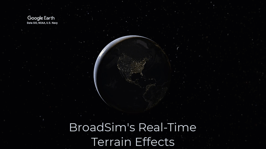
BroadSim's Real-Time Terrain Effects
Establishing realistic terrain effects within a NAVWAR simulator is becoming a highly sought-after feature when testing PNT systems for the warfighter. The BroadSim Product Family now provides a real-time Terrain Plug-In solution...

Jaemin Powell
Applications Engineer